Click Below

Just a short drive from Preston Point is Eisenhower State Park edging the border between Texas and Oklahoma.
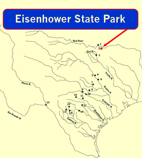
Eisenhower State Park, with spacious campsites, wild trails and spectacular views, is perched on the bluffs of Lake Texoma, formerly the Red River.
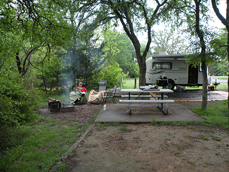
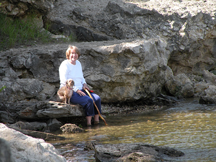
After a long day of exploring Preston Point and Alberta Creek, it’s nice to come home to a cozy casita and warm campfire where our imaginations run free to envision the lives of the first campers on this land.
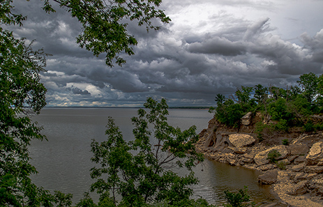
The water along the shore of Lake Texoma is high after a heavy rain. Before the dam was built, the Red River was prone to frequent flash flooding, especially at its confluence with the Washita, where our hapless band of travelers unwisely made camp.

A long climb down from the park’s highest bluff leads hikers to the lake shore where rising and receding water has deposited a shallow swimming beach at the base of the bluff.
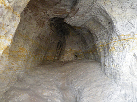
Frequent flooding and erosion have hollowed out dry rock shelters beneath the ledge.
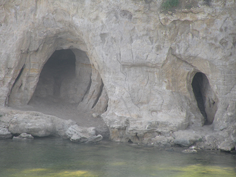
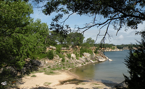
Stepping carefully along the rocky shore, adventurous hikers can reach the rock shelters, just as ancient travelers must have done over 11,000 years ago.
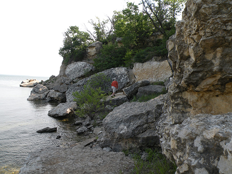
Less adventurous ones can play in the water while they wait for the bold ones to get the pictures.
The reward of the rocky climb is a comfortable shelter, large enough for a small traveling group of hunter-gatherers to find warmth and protection from the storms and rising water. Acidic seepage over the eons has eroded thick limestone bluffs which sat above the swiftly flowing river before it was dammed to form Lake Texoma.
For Additional Information
Click on the link below